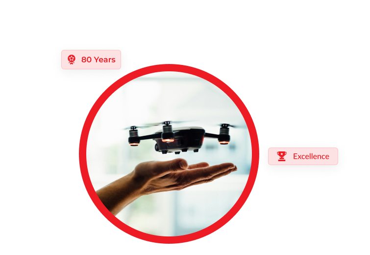
Technical Excellence
A standing of 80 years delivering excellence in technical education for more than 100,000 students.

Drone technology is revolutionizing various industries by providing innovative solutions, improving efficiency, and reducing costs. Here are some industries where drone technology is making a significant impact:
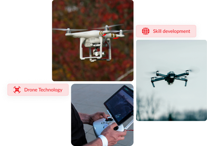
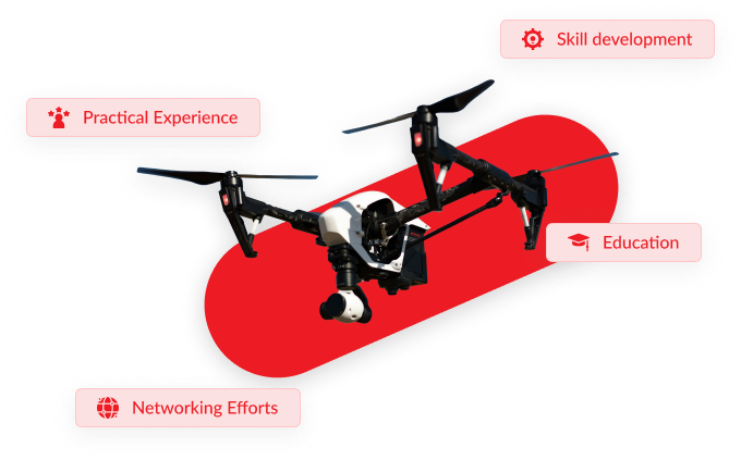
Explore cutting-edge technology and expand your skills with our comprehensive drones-related courses, designed to equip you with the knowledge and expertise to excel in the rapidly growing field of UAVs.
Duration: 42 Hrs

Drones can capture shots from unique perspectives and angles that would be difficult or impossible to achieve with traditional camera setups or manned aircraft. Aerial cinematography using drones offers filmmakers and content creators a powerful tool for capturing stunning and immersive aerial footage that adds depth and visual impact to their projects.
REGISTER NOW
Duration: 30 Hrs
Aerial surveying or drone mapping, have become increasingly popular due to the advancements in drone technology. They offer a versatile and efficient solution for a wide range of applications across industries such as agriculture, construction, mining, environmental monitoring, and urban planning.
REGISTER NOW
Duration: 300 Hrs
Modern survey technology incorporates a variety of advanced survey instruments that enable accurate data collection, analysis, and visualization across diverse industries and applications. This is a comprehensive course intended for candidates aspiring for a position in the surveying industry. The course covers all aspects of surveying including new technologies and hands-on training and expertise in state-of-the-art survey equipment and gadgets. It is imperative that students who opt for this program should be totally committed and willing to put in extra hours of study as well as be prompt in submitting assignments and project work.
REGISTER NOW
Duration: 96 Hrs
UAV surveying & mapping along with drone pilot courses can be a valuable investment in your education and career, providing you with the expertise and credentials needed to succeed in the rapidly evolving field of drone technology. With the increasing demand for UAV surveying and mapping services across various industries such as construction, agriculture, environmental monitoring, and infrastructure inspection, completing these courses can open up a wide range of career opportunities.
REGISTER NOWThe V team is always here to help you. Don’t hesitate to call us, we will assist you.
+91 9387630037
+91 9567386065
+0474 2796065
The V Institute of Advance Studies
Cutchery P.O.
Kollam 691013
Kerala, India


Classes based on the NIMI syllabus with periodic monitoring and mentoring support.

Previous question paper discussion and exam series conduction

Provide direct, online (recorded/live) classes and a learning app for flexible learning.

Enjoy access to a well-equipped library for enhanced learning and research.