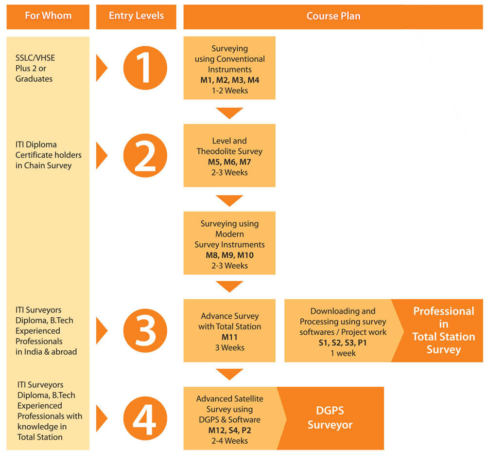
Diploma in DGPS using the RTK system
This is one of the most popular courses offered at V Institute, which trains the student to become a high quality professional surveyor equipped to handle state-of-the-art instruments and software applications. This course is designed to familiarize and provide a hands-on experience to the students on GPS-based surveying techniques.
DESCRIPTION

COURSE CONTENT
Applications covered in the Course, in addition to the subjects in Levels 1 to 3
- Introduction to GPS
- GPS System Overview
- Working principle of GPS
- Satellite ranging and Position Calculation
- GPS errors and their corrections
- Differential Global Positioning System
- Basic Geodetic Aspects
- Reference Line
- Longitudinal & Traverse Profiles
- Surveying Using GPS
- Static Surveys
- Rapid Static Surveys
- Kinematic Surveys
- Real Time Kinematic Surveys
- Processing of GPS survey data
- Plotting of GPS survey data
Major practical sessions
- Receiver set up
- Configuration of the receiver
- Configuration of the terminal
- Satellite tracking
- Different parameters setting and Data storing
- Localisation of WGS 84 Coordinates
- Establishing stations and TBMs with reference to Survey of India BM (Control Points)
- Altitude
- Stake out of the measured points and offsets
- Self survey mode (absolute positioning)
- Static Surveys and rapid static surveys
- Kinematic and RTK surveys
- Post processing of surveyed data and exporting the data to AutoCAD
- Topographic surveys using RTK mode and establishing control points using static mode
- Precautions to be taken while using GPS receivers


